Mount Everard Circuit
Interactive map
GPS track profile
About this GPS track
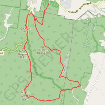
Name: Mount Everard Circuit GPS track, route, trail
Coordinates: -37.58617 145.33525 -37.53719 145.37143
Other GPS tracks
Click on a GPS track to view route, its statistics and profile.
Tallarook - Eildon - Hurstbridge
Australia > Victoria > Tallarook
#Bike
Distance: 278.8 Km • Elevation gain: 4,897 m • Maximum elevation: 868 m