Etiwanda Falls
Interactive map
GPS track profile
About this GPS track
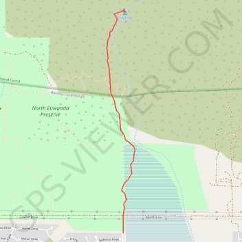
Name: Etiwanda Falls GPS track, route, trail
Coordinates: 34.16393 -117.52531 34.18630 -117.52191
Other GPS tracks
Click on a GPS track to view route, its statistics and profile.
Name: Etiwanda Falls GPS track, route, trail
Coordinates: 34.16393 -117.52531 34.18630 -117.52191
Click on a GPS track to view route, its statistics and profile.