Import a GPX file

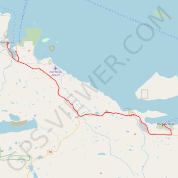
Port McNeill - Port Hardy

Vancouver Island. #Bike #McNeill #Hardy #Vancouver

  • Distance: 50.3 Km
  • Elevation gain: 472 m
  • Maximum elevation: 120 m
  • Elevation loss: 495 m
  • Minimum elevation: 1 m

Interactive map

GPS track profile

About this GPS track

Other GPS tracks

Click on a GPS track to view route, its statistics and profile.

Dakota 576 Crash Site

Canada > British Columbia > Regional District of Mount Waddington > Port Hardy

Vancouver Island. #Hike #Vancouver

Distance: 4.1 Km • Elevation gain: 134 m • Maximum elevation: 91 m