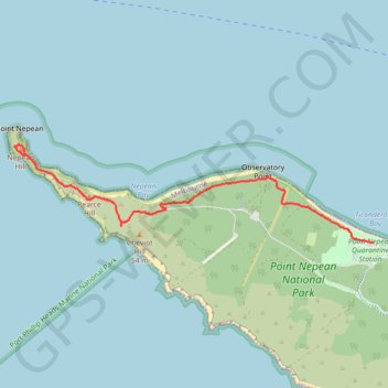
Coles Track - Cheviot Hill - Fort Nepean
Interactive map
GPS track profile
About this GPS track
Name: Coles Track - Cheviot Hill - Fort Nepean GPS track, route, trail
Coordinates: -38.31210 144.65215 -38.30321 144.69377
Other GPS tracks
Click on a GPS track to view route, its statistics and profile.