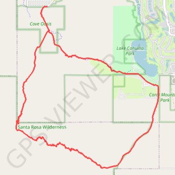
Loop hike in the Santa Rosa Wilderness from the Cove Oasis via Boo Hoff Trail, Devil Canyon and Lake Cahuilla. #Hike #Loop #Mountain #Wilderness #Nature #Canyon #Lake
Name: Boo Hoff Trail Loop GPS track, route, trail
Start: Cove Oasis, Avenida Diaz, La Quinta, Riverside County, California, 92253, United States (33.64883 -116.30993)
End: Cove Oasis, Boo Hoff Trail, La Quinta, Riverside County, California, United States (33.64881 -116.30996)
Coordinates: 33.59826 -116.32172 33.64883 -116.26815
Click on a GPS track to view route, its statistics and profile.
United States > California > Riverside County > La Quinta
Hike from Cove Oasis to Bear Creek Oasis via the Bear Creek Trail in the Santa Rosa Wilderness. #Hike #Oasis #Nature #Desert #Mountain #Wilderness
Distance: 7.0 Km • Elevation gain: 649 m • Maximum elevation: 702 m
Loop hike from Lake Cahuilla Park to Cove Oasis via Boo Hoff Trail in the Santa Rosa Wilderness. #Hike #Loop #Lake #Nature #Mountain #Wilderness #Desert
Distance: 17.4 Km • Elevation gain: 673 m • Maximum elevation: 577 m