Rosewall Creek Provincial Park
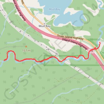
Interactive map
GPS track profile
About this GPS track
Name: Rosewall Creek Provincial Park GPS track, route, trail
Coordinates: 49.45271 -124.80372 49.45650 -124.77506
Other GPS tracks
Click on a GPS track to view route, its statistics and profile.