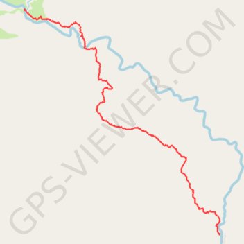
Mường Tè District Hike
- Distance: 7.5 Km
- Elevation gain: 417 m
- Maximum elevation: 1,952 m
- Elevation loss: 818 m
- Minimum elevation: 1,354 m
- Moving time: 2 h 56 m
- Moving speed: 2.5 Km/h
- Maximum speed: 19.2 Km/h
- Total time: 4 h 32 m
- Global speed: 1.6 Km/h
- Date: 31/03/2024
Interactive map
GPS track profile
About this GPS track
Name: Mường Tè District Hike GPS track, route, trail
Start: Pa Vệ Sử Commune, Mường Tè District, Lai Châu Province, Vietnam (22.59764 102.80980)
End: Pa Vệ Sử Commune, Mường Tè District, Lai Châu Province, Vietnam (22.56376 102.84175)
Coordinates: 22.56376 102.80979 22.59787 102.84176