#Hike #Mountain #Forest #Nature
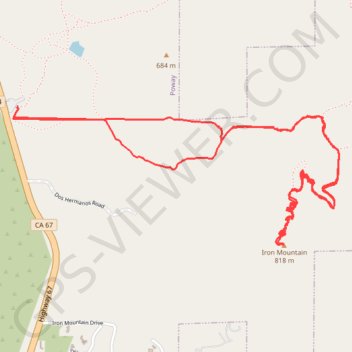
Name: Iron Mountain GPS track, route, trail
Start: Poway Road Park And Ride, 15001, Highway 67, Poway, San Diego County, California, 92064, United States (32.97817 -116.97242)
End: Poway Road Park And Ride, 15001, Highway 67, Poway, San Diego County, California, 92064, United States (32.97817 -116.97242)
Coordinates: 32.97081 -116.97270 32.97817 -116.95193
Click on a GPS track to view route, its statistics and profile.
United States > California > San Diego County > Poway
Loop hike to Iron Mountain via Iron Mountain Peak Trail and Ellie Lane Trail. #Hike #Loop #Mountain #Nature #Forest #Lake
Distance: 12.6 Km • Elevation gain: 522 m • Maximum elevation: 804 m
Hike to the Iron Mountain from the Poway Road Park And Ride via the Iron Mountain Peak Trail. #Hike #Mountain #Forest #Nature
Distance: 4.5 Km • Elevation gain: 338 m • Maximum elevation: 803 m