Eagle Lake via Upper Eagle Falls
Interactive map
GPS track profile
About this GPS track
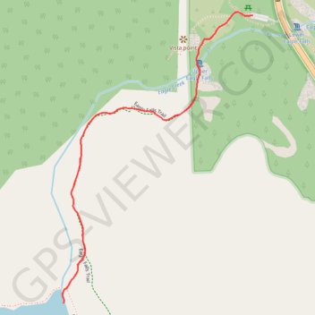
Name: Eagle Lake via Upper Eagle Falls GPS track, route, trail
Start: Eagle Lake Trail, El Dorado County, California, United States (38.95197 -120.11317)
End: Eagle Lake Trail, El Dorado County, California, United States (38.95197 -120.11317)
Coordinates: 38.94328 -120.12054 38.95207 -120.11317
Other GPS tracks
Click on a GPS track to view route, its statistics and profile.
Chester - Walker
États-Unis d'Amérique > Californie > Plumas County > Chester
Vélo. En aller simple entre Chester et Walker. #Vélo
Distance: 383.8 Km • Elevation gain: 6,088 m • Maximum elevation: 2,541 m