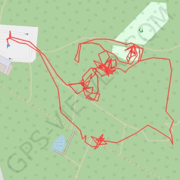
R TM000270
- Distance: 1.9 Km
- Elevation gain: 11 m
- Maximum elevation: 49 m
- Elevation loss: 11 m
- Minimum elevation: 42 m
- Moving time: 45 m 40 s
- Moving speed: 2.4 Km/h
- Maximum speed: 8.1 Km/h
- Total time: 2 h 2 m
- Global speed: 0.9 Km/h
- Date: 24/02/2022
Interactive map
GPS track profile
About this GPS track
Name: R TM000270 GPS track, route, trail
Coordinates: 51.90544 0.90475 51.90672 0.90767
Other GPS tracks
Click on a GPS track to view route, its statistics and profile.
Braintree-Norwich-115km
Royaume-Uni > Angleterre > Essex > Braintree > Bocking Churchstreet
Distance: 114.0 Km • Elevation gain: 752 m • Maximum elevation: 94 m