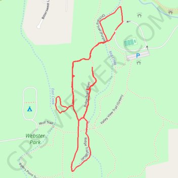
Webster Park
- Distance: 2.9 Km
- Elevation gain: 22 m
- Maximum elevation: 100 m
- Elevation loss: 21 m
- Minimum elevation: 83 m
- Moving time: 51 m 32 s
- Moving speed: 3.4 Km/h
- Maximum speed: 5.7 Km/h
- Total time: 53 m 27 s
- Global speed: 3.2 Km/h
- Date: 31/03/2024
Interactive map
GPS track profile
About this GPS track
Name: Webster Park GPS track, route, trail
Coordinates: 43.25090 -77.45537 43.25803 -77.45139
Other GPS tracks
Click on a GPS track to view route, its statistics and profile.
Niagara - Albany
États-Unis d'Amérique > New York > Niagara County > City of Niagara Falls
Distance: 538.0 Km • Elevation gain: 2,411 m • Maximum elevation: 198 m