Nicolas_Vanvyve_2021-08-30
- Distance: 24.5 Km
- Elevation gain: 110 m
- Maximum elevation: 128 m
- Elevation loss: 100 m
- Minimum elevation: 101 m
- Moving time: 5 h 28 m
- Moving speed: 4.5 Km/h
- Maximum speed: 8.9 Km/h
- Total time: 6 h 53 m
- Global speed: 3.6 Km/h
- Date: 30/08/2021
Interactive map
GPS track profile
About this GPS track
Name: Nicolas_Vanvyve_2021-08-30 GPS track, route, trail
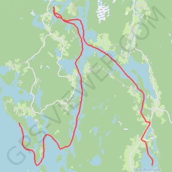
Start: Västra Viker, Årjängs kommun, Comté de Värmland, Suède (59.38633 11.89647)
End: DANO34, S 506, Kultarönningen, Årjängs kommun, Comté de Värmland, Suède (59.36788 12.00927)
Coordinates: 59.36787 11.89626 59.43659 12.00963
Other GPS tracks
Click on a GPS track to view route, its statistics and profile.
Stage 1: Arctic Ocean to Väylä — European Divide Trail
Distance: 2,785.0 Km • Elevation gain: 23,823 m • Maximum elevation: 722 m
Nicolas_Vanvyve_2021-08-29_11-38-26
Distance: 15.0 Km • Elevation gain: 41 m • Maximum elevation: 107 m
Nicolas_Vanvyve_2021-08-30_10-45-33 (merged)
Distance: 24.0 Km • Elevation gain: 77 m • Maximum elevation: 117 m