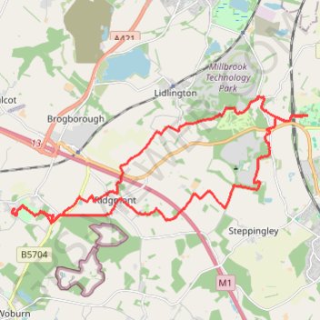
Crawley Park to Ampthill Park Loop
Loop hike from Crawley Park to Ampthill Park. #Hike #Loop #Countryside #Nature #Forest #Park
- Distance: 24.1 Km
- Elevation gain: 259 m
- Maximum elevation: 133 m
- Elevation loss: 259 m
- Minimum elevation: 73 m
- Moving time: 4 h 21 m
- Moving speed: 5.5 Km/h
- Maximum speed: 9.7 Km/h
- Total time: 4 h 37 m
- Global speed: 5.2 Km/h
- Date: 11/02/2024
Interactive map
GPS track profile
About this GPS track
Name: Crawley Park to Ampthill Park Loop GPS track, route, trail
Coordinates: 52.00954 -0.61993 52.03924 -0.50795
Other GPS tracks
Click on a GPS track to view route, its statistics and profile.
Route
United Kingdom > England > Central Bedfordshire > Upper Sundon
Distance: 113.0 Km • Elevation gain: 903 m • Maximum elevation: 170 m